Off we go, at 11.8.2014. Travel Route Austria-Slovakia (Bratislava, Zilina E50)-Czechia, Poland (Czestochowa, Warszawa E75, Suwalki E67)
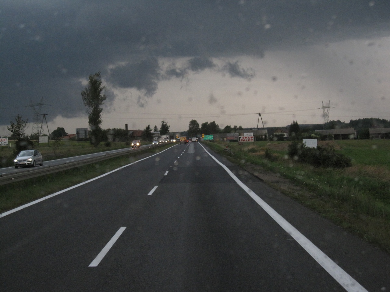
E75 right before Czestochowa, Travel weather so-so ;-)
then via E67 through the Baltic countries until Tallin.
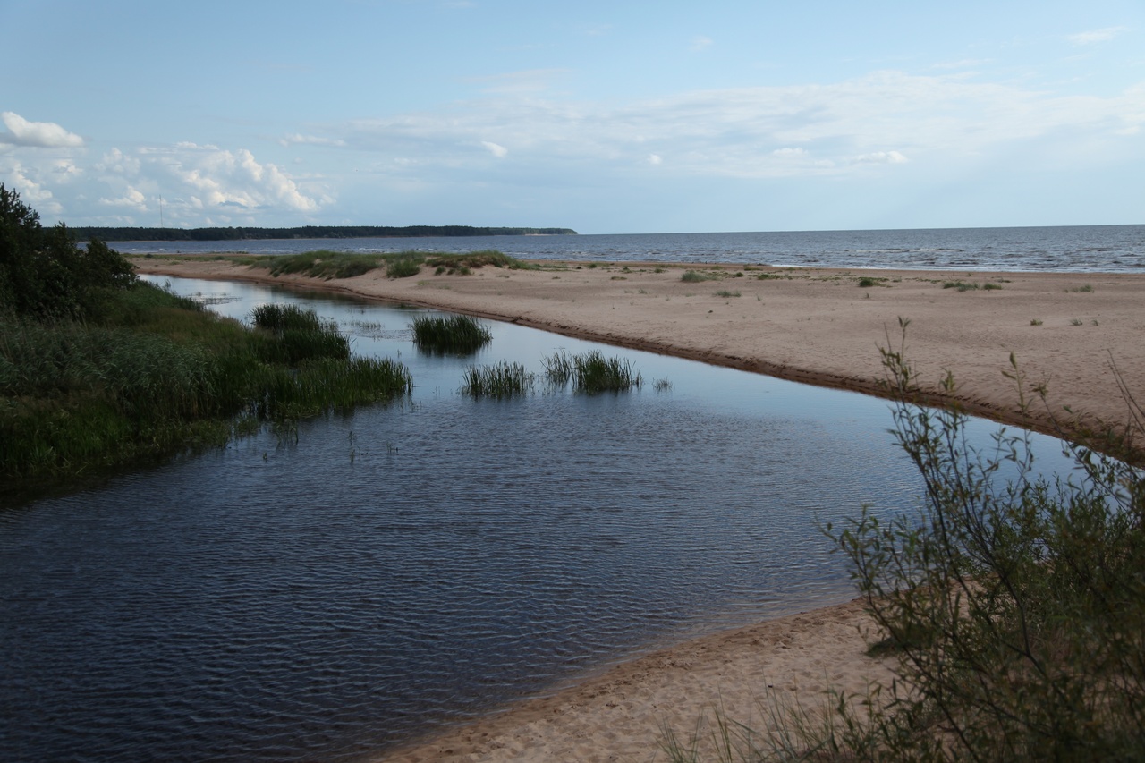
Lettland;Vitrupe estuary in the Golf of Riga
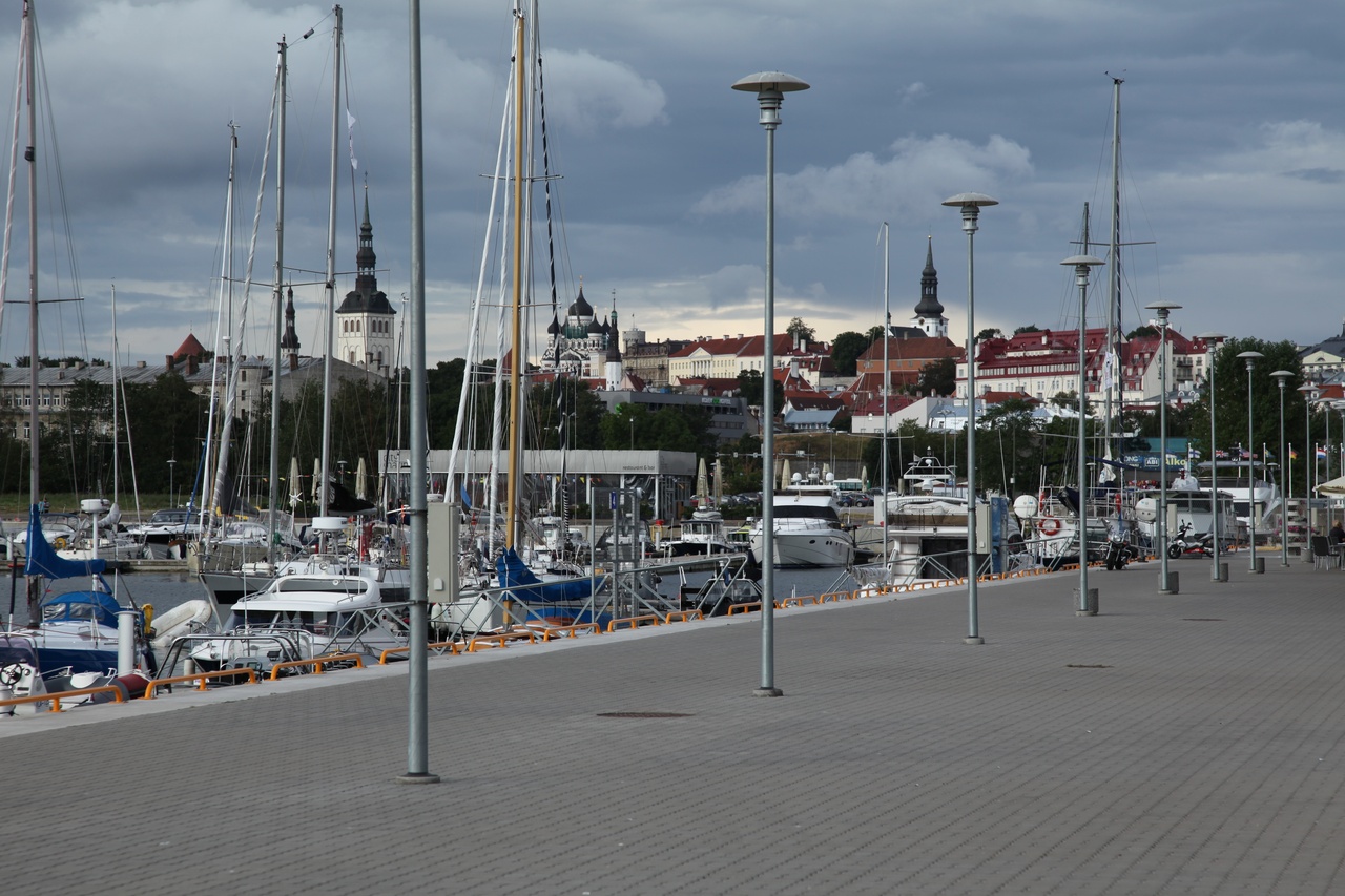
Tallin; Sight from Harbour.
In Tallin, sightseeing before embarkment to Helsinki. Well worth seeing old town with largely existent fortification. However, when the swimming hotels spit out their content, only quick escapement can save your day!
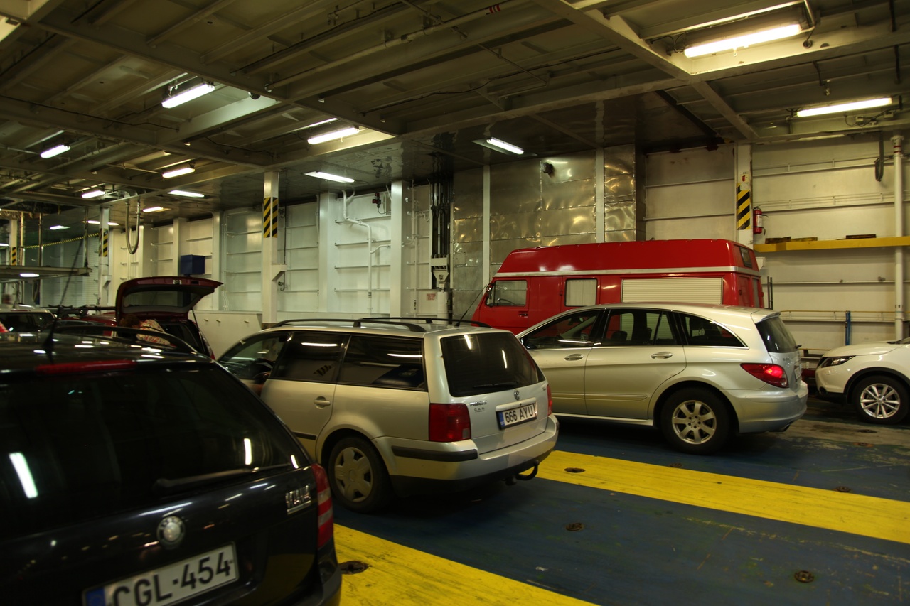
In the ferry boat's belly, easy to find :-)
Made no stop in Helsinki, because time for the lake has come...
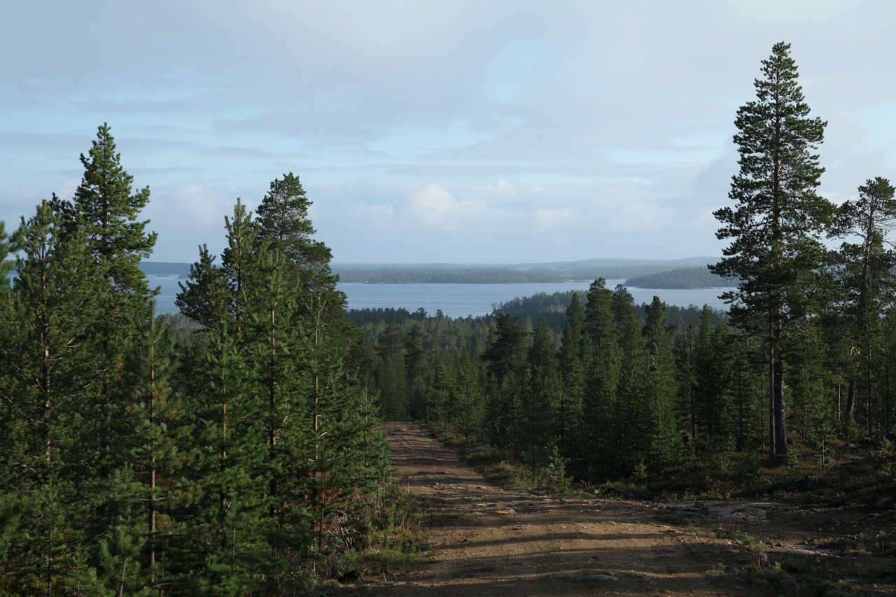
Searching on ancillary roads....
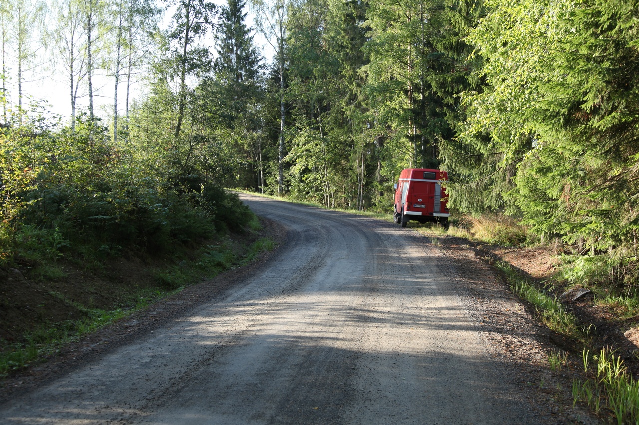
... and found.
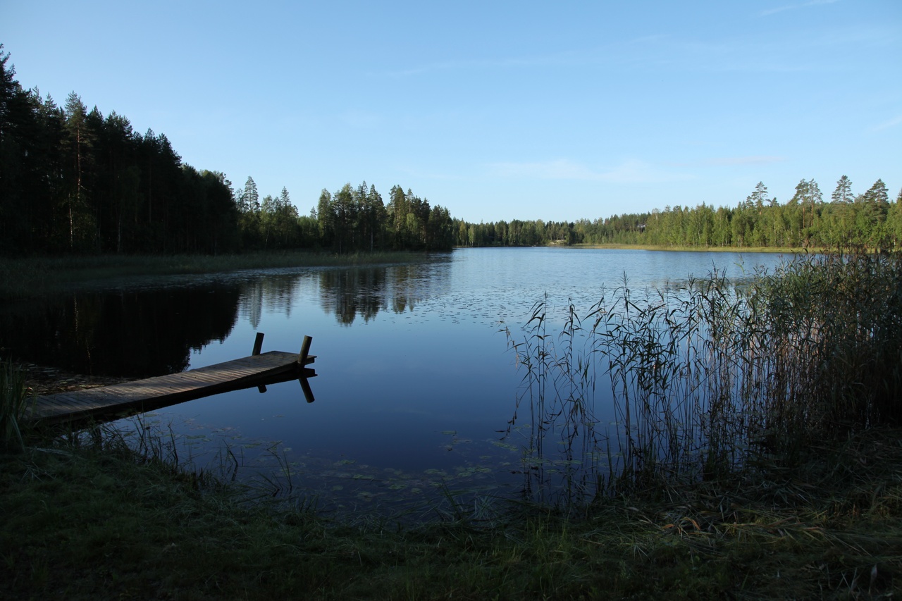
But not easy, because almost every lake access road ends up on a house or cabin, and there one don't necessarely want to disturb..
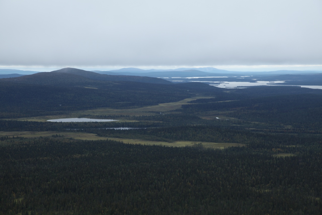
Therefore further to the north, somewhere the cabins should decline in frequency?!
In the vicinity of Suomussalmi, beautiful lakes and hiking routes can be found.
After overnight stay and a morning swim in the lake right besides the pitch we are ready for starting.
Upload of the appropriate map in the GPS device is one more thing before starting the hike.
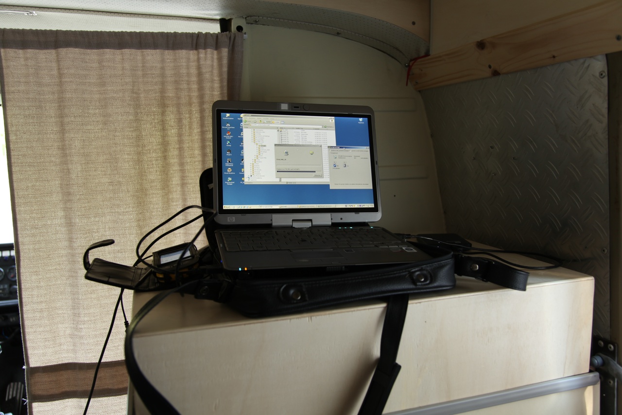
Maps in perfect quality can be downloaded for all of Finland for free from the Finnish survey service! This is a shining example for ours ;-)
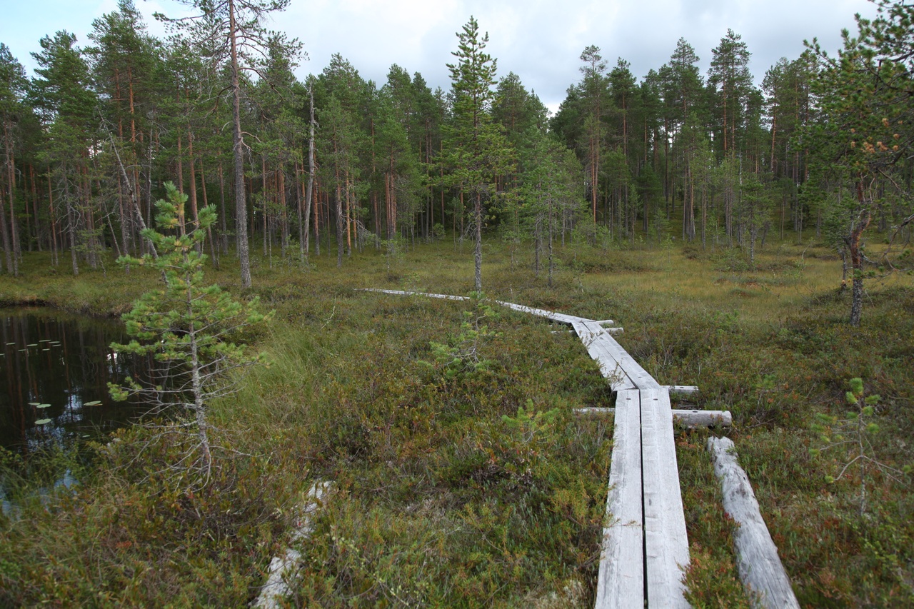
Swampy passages are often overcome by means of wooden walkways. Other time consuming obstacles must be surmount by oneself:
Obviously seldom somebody come thus far:
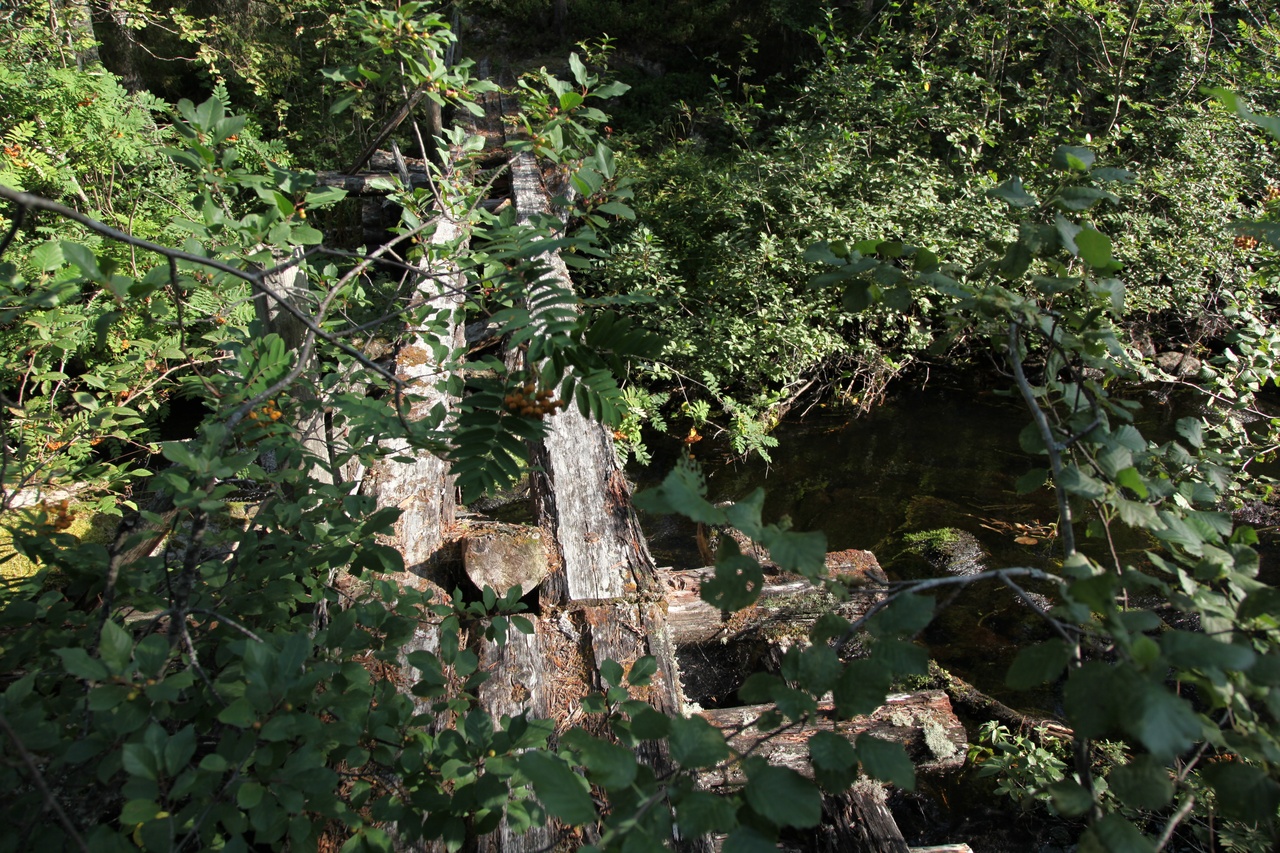
Slight decayed bridge
Also in the absence of a bridge, one can cross a river.
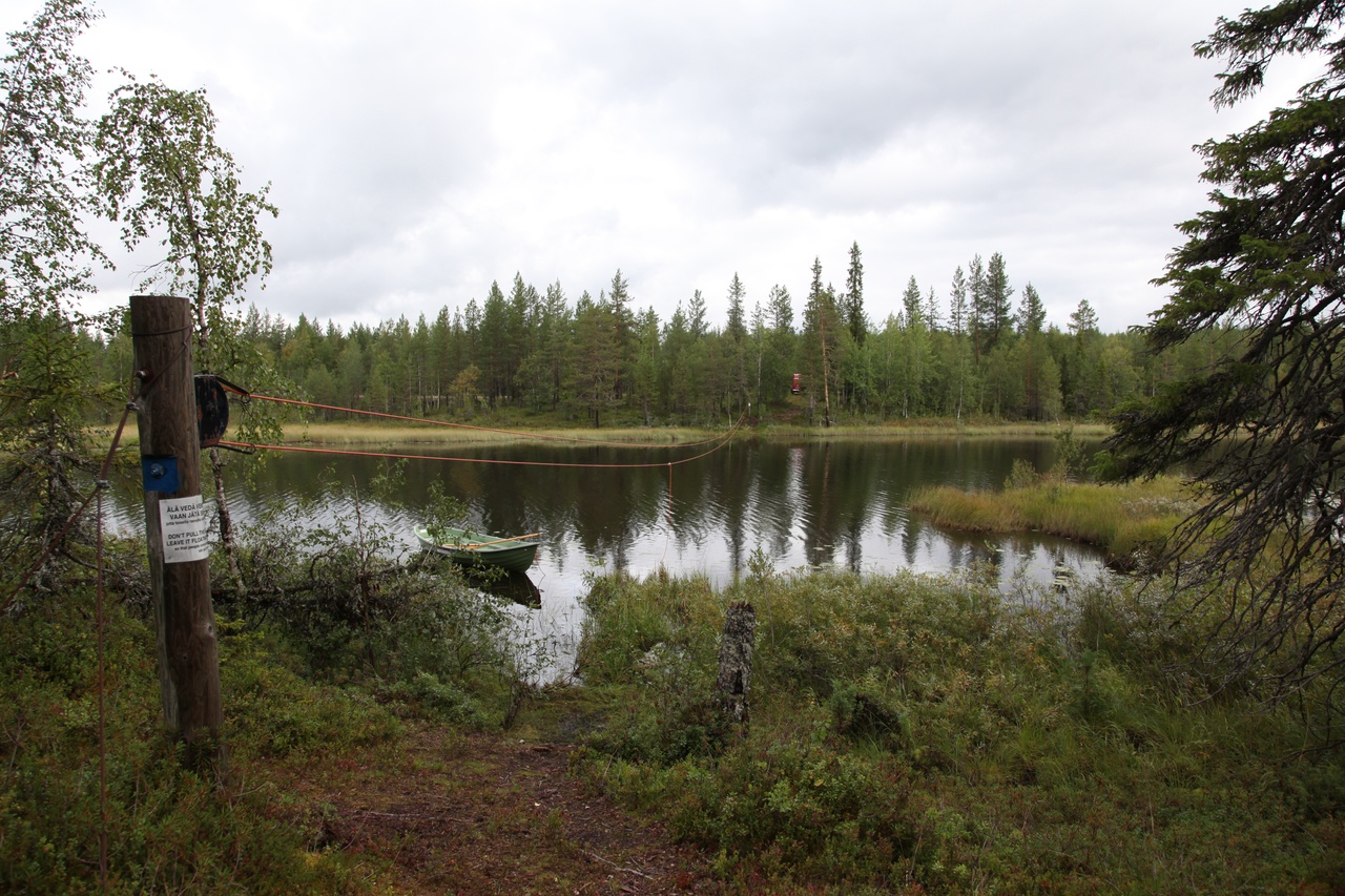
Rope ferry boat
And then, the party is over: the russian border
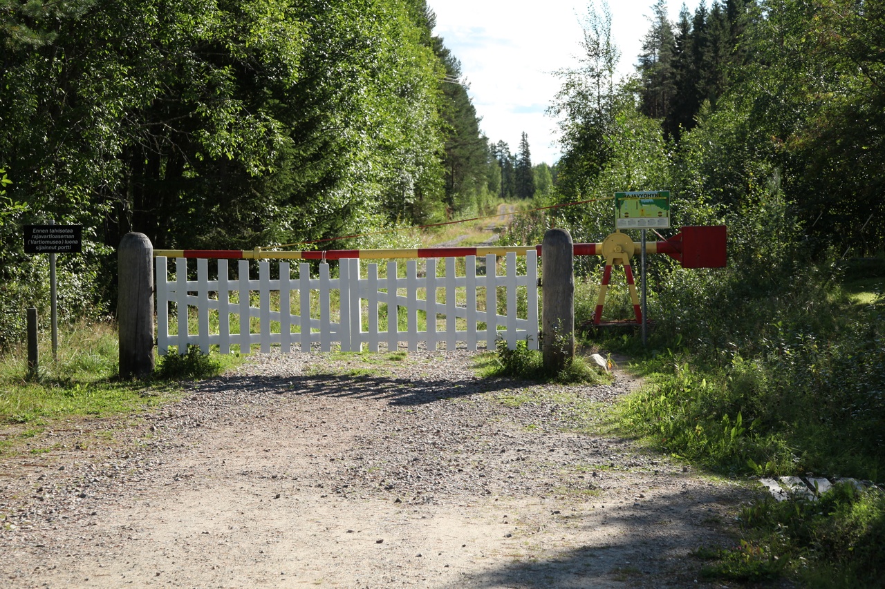
Therefore again, further to the north
First, to make a change, off to mountains:
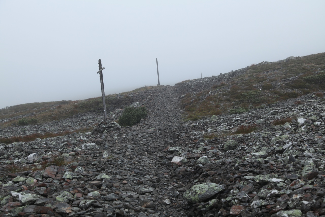

Ascent to Taivaskero; Summit (809m)
In the Pallastunturi National Park northwest of Kittilä, one can reach the highest Fjells of inner Finnland. Climate, typical for the high mountain region already at 600 m above sea level! Unfortunately, the weather was no longer as nice as before, but that increase the "high mountain feeling" ;-)
Finnish Lappland, seen from Pallastunturi-Fjell
There are in fact higher summits in Finland, but they are located in the northwest on the norwegian border.
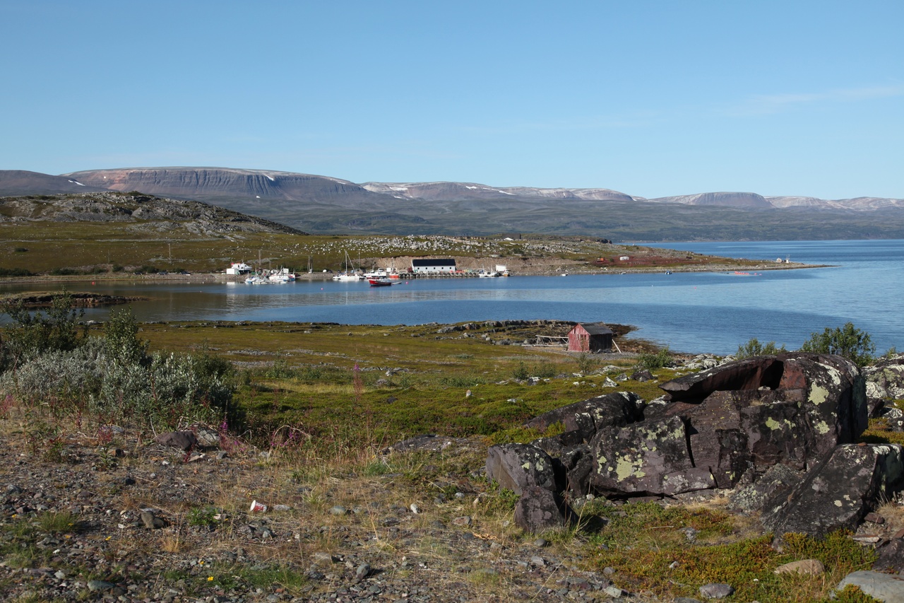
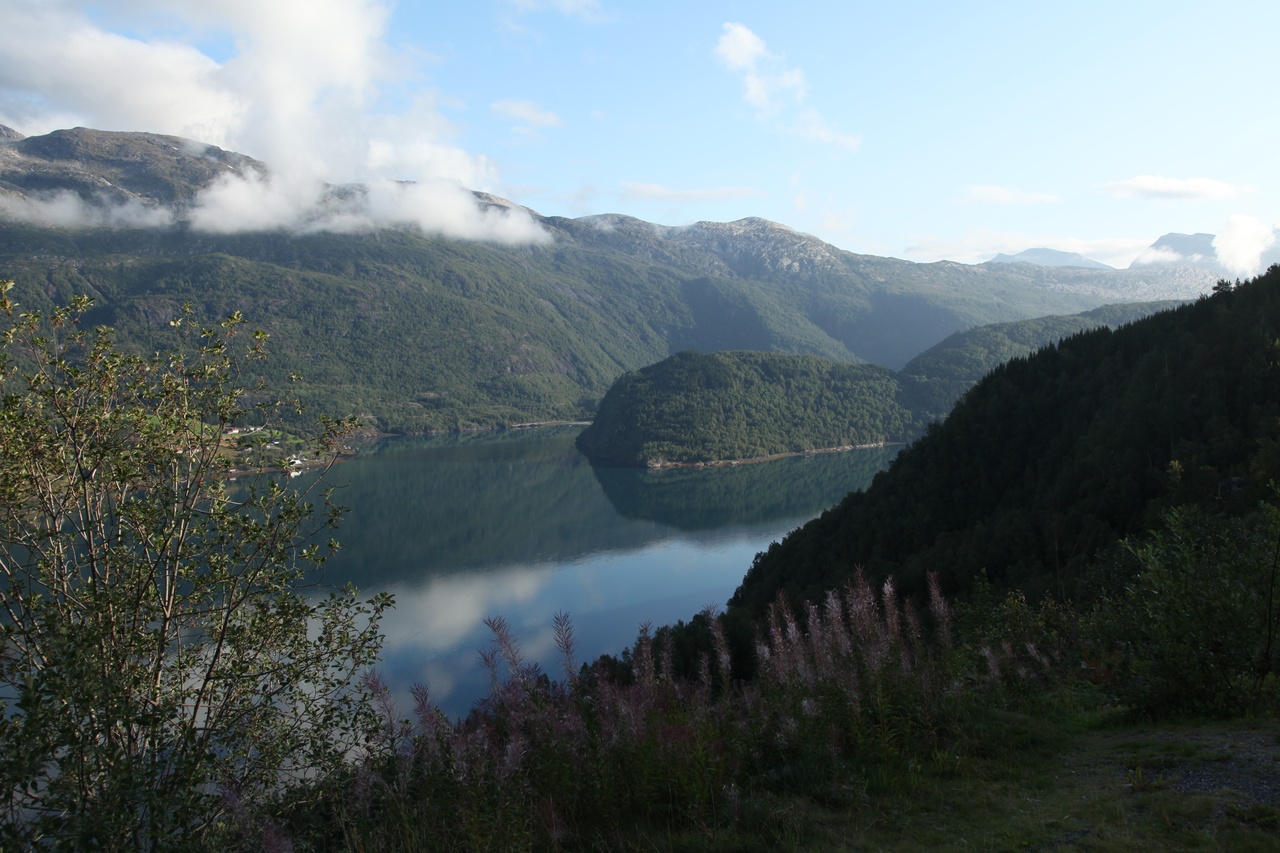
Now we proceed to the first "fixed" destination of the journey: the Lake Enare. This is the sixth largest lake of Europe with more than 3000 islands.
There are still more cabins than expected, but particularly the northern part already brings in mind former Canada-trips.
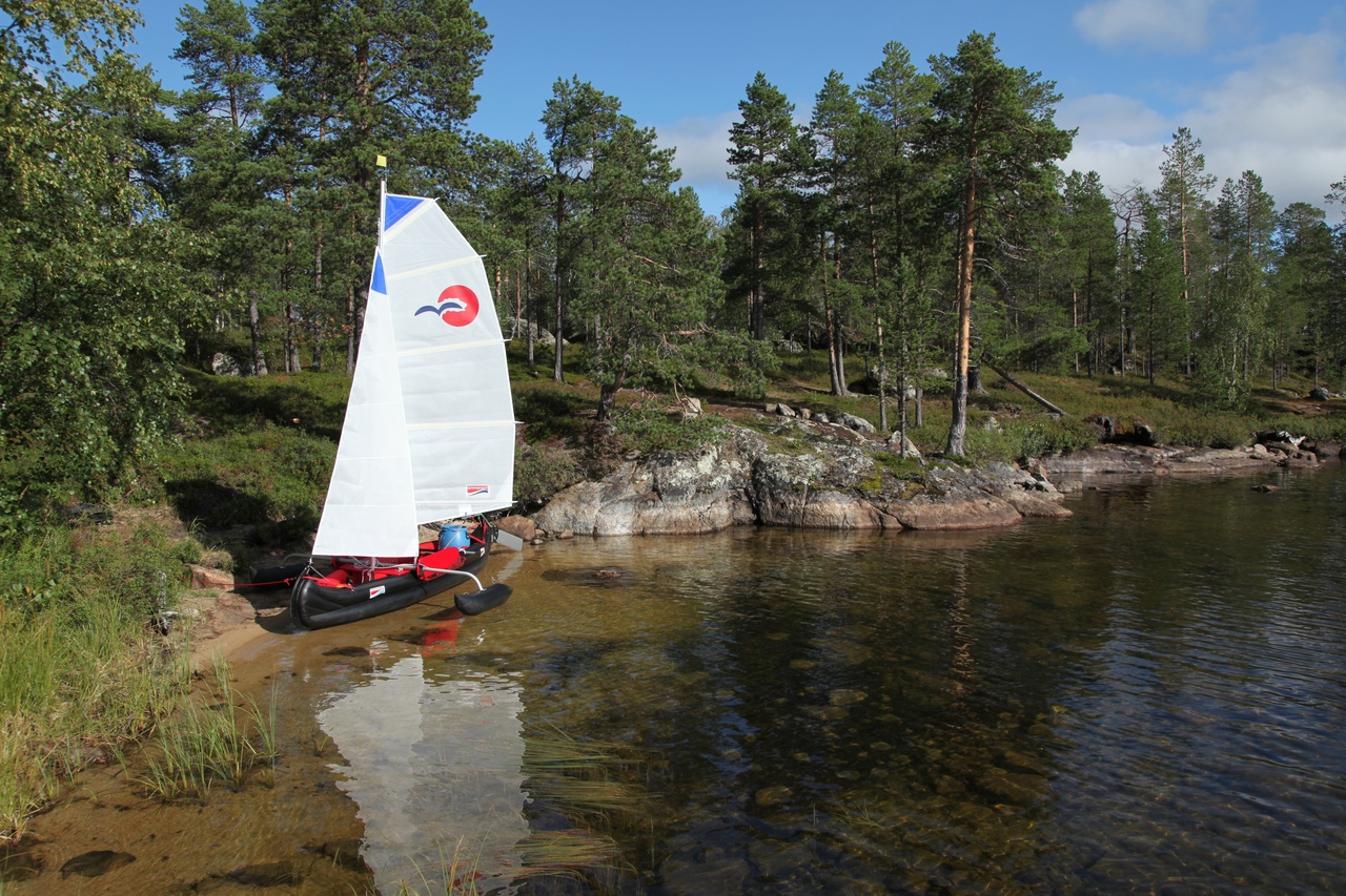
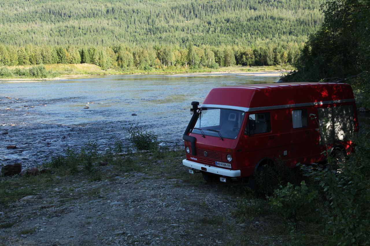
Now the brought along means of transport comes to use:
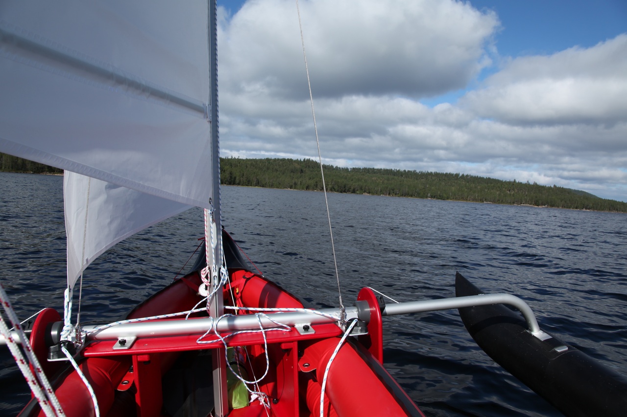
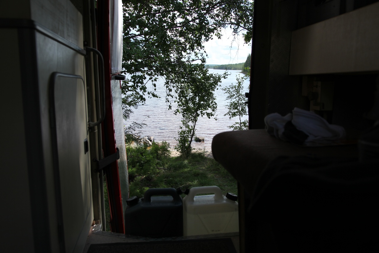
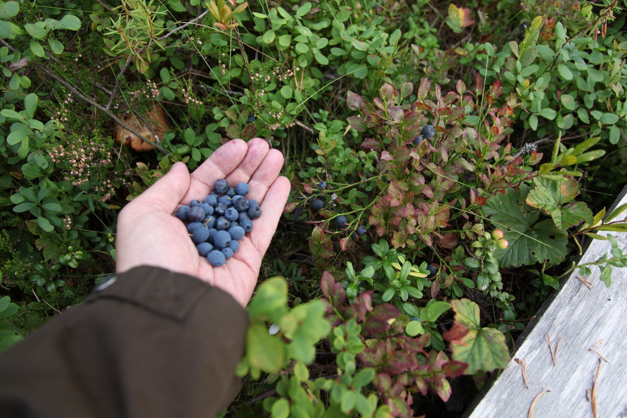
A campground as it should be. And, as on the whole journey so far: Not a bit of maddening clouds of mosquitoes!
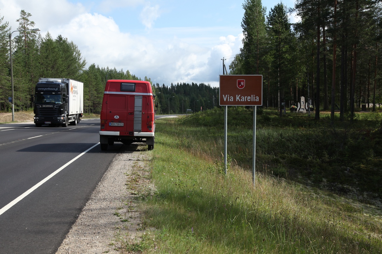
I guess it's time to say farewell to Finland, it's more of north after all. The directions for crossing the border are fortunately not applicable for us, having nothing to declare!
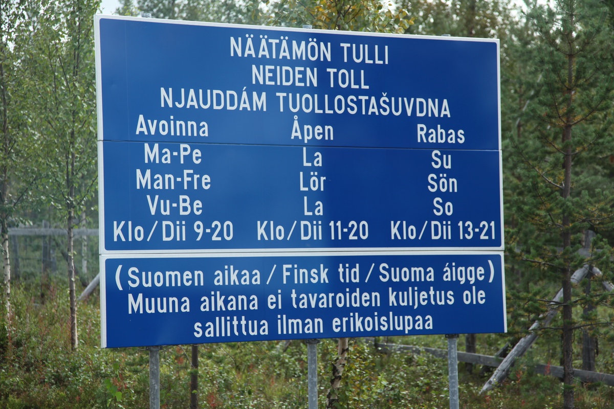
The fins are not that great with english letterings. For this reason, a dictionary is obligatory! Not in every case, the substance can be figured out as easily than here..
After crossing the border on the 971 near Sevettijärvi, the first contact with Barentssea ist not very far away.
Landing on Varangerfjord
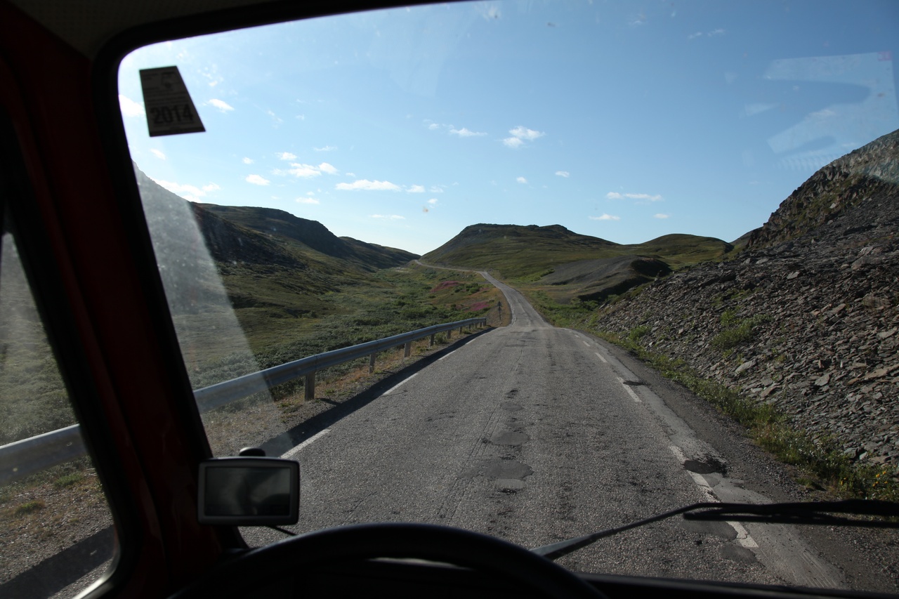
Direction North to the Nordkyn-peninsula, the roads become narrower, the landsape and vegetation more and more arctic.
Route 888, Nordynveien
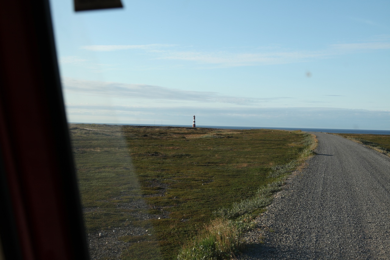
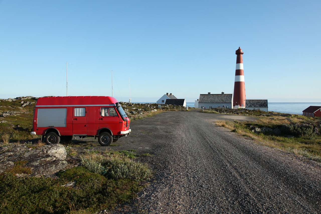
In sight: Slettnesfyr 71°05`33”N
Hit! The northernmost lighthouse and street-point on European mainland, Slettnes, Gamvik municipality.
In addition to that, glorious, sunny weather and still absolute insect-free! Due to the relative late date (29th of August) already after-season and therefore also almost free of tourists. No comparison to the tourist hype at Nordkapp! So the opportunity to stay overnight direct at the lighthouse arises and no one feel disturbed!
Even the obligatory jump in the sea at a white sandy beach nearby is possible under this weather condition, although only short as I must admit ;-))
The round tour through the nature reserve is certainly required and leads, among other points of interest, to the famous Amundsen-Rock.
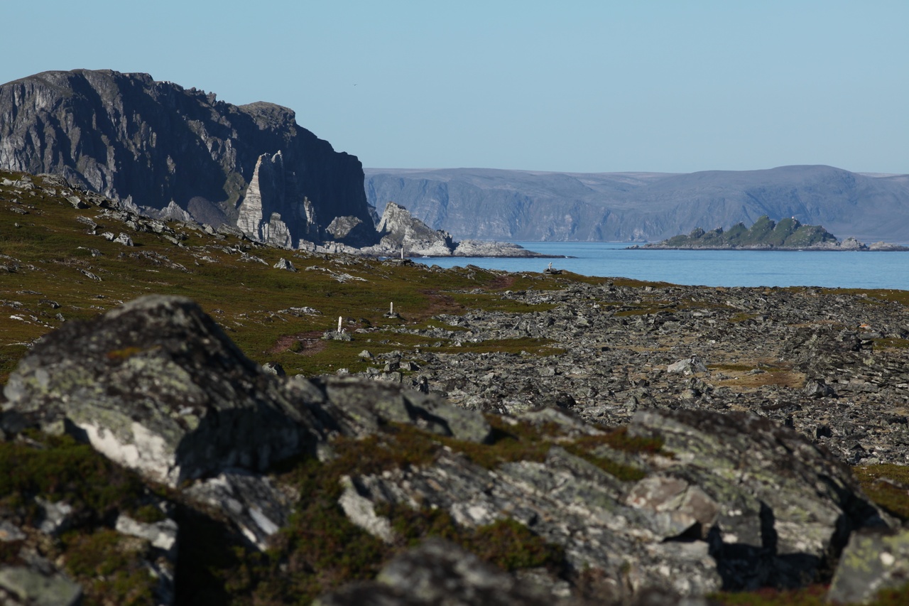
Amundsen-Rock (Bispen-peninsula), left the profile, right the hands of the resting famous explorer.
Seen from the sea, tho profile is even more related to the distinctive profile of the famous explorer.
Wonder why the target of the hike is called Steinvåg?
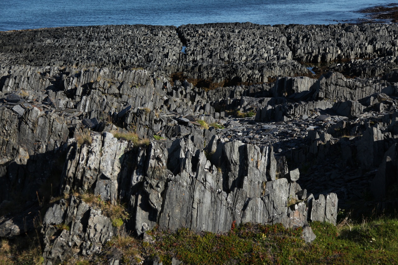
Steinvåg Finnmark Norway
But from now, the only way leads to south!
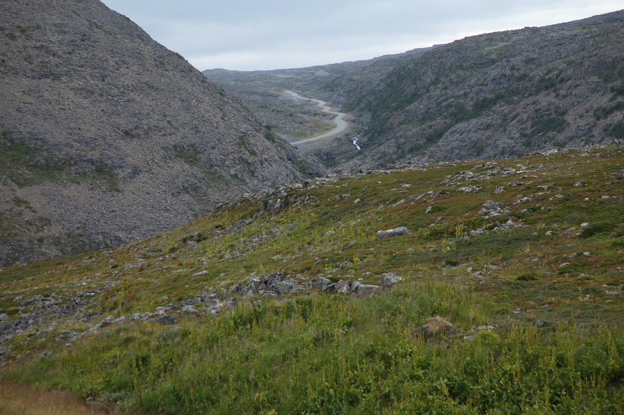
Route 888, Nordynveien
A detour to Hammerfest. A bit disappointing, few nordic flair, rather a scurfy townlet.
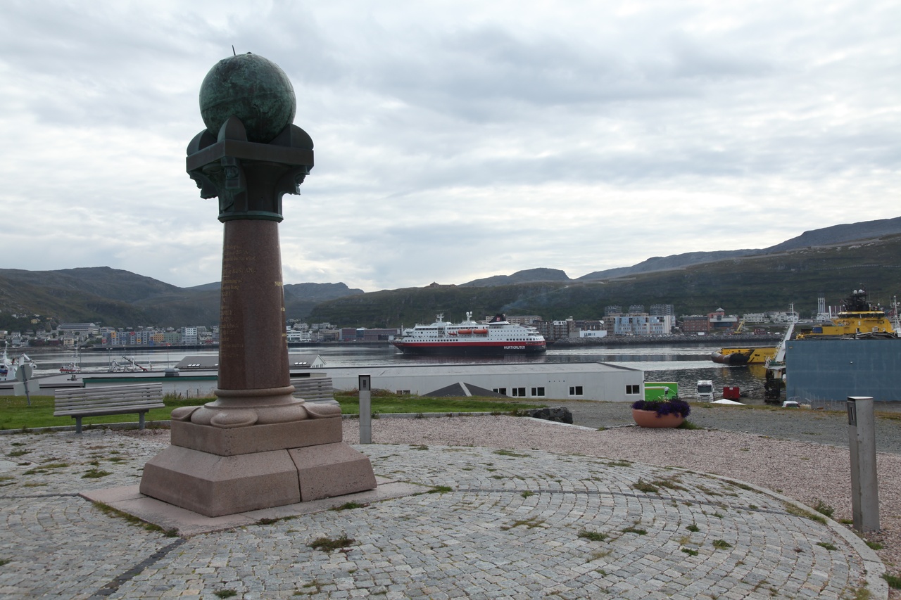
Hammerfest, Meridian monument, northen endpoint of the Struve-Bow (Meridiantriangulation) from Black Sea to Hammerfest
On the other hand, as the most northern towns, Hammerfest was flattened at the end of the war 1944. So almost no old matter is left.
Once reaching Narvik, we are not very far from home, or yet again?
The North-South road link is still not continous and still depending on ferry boats:
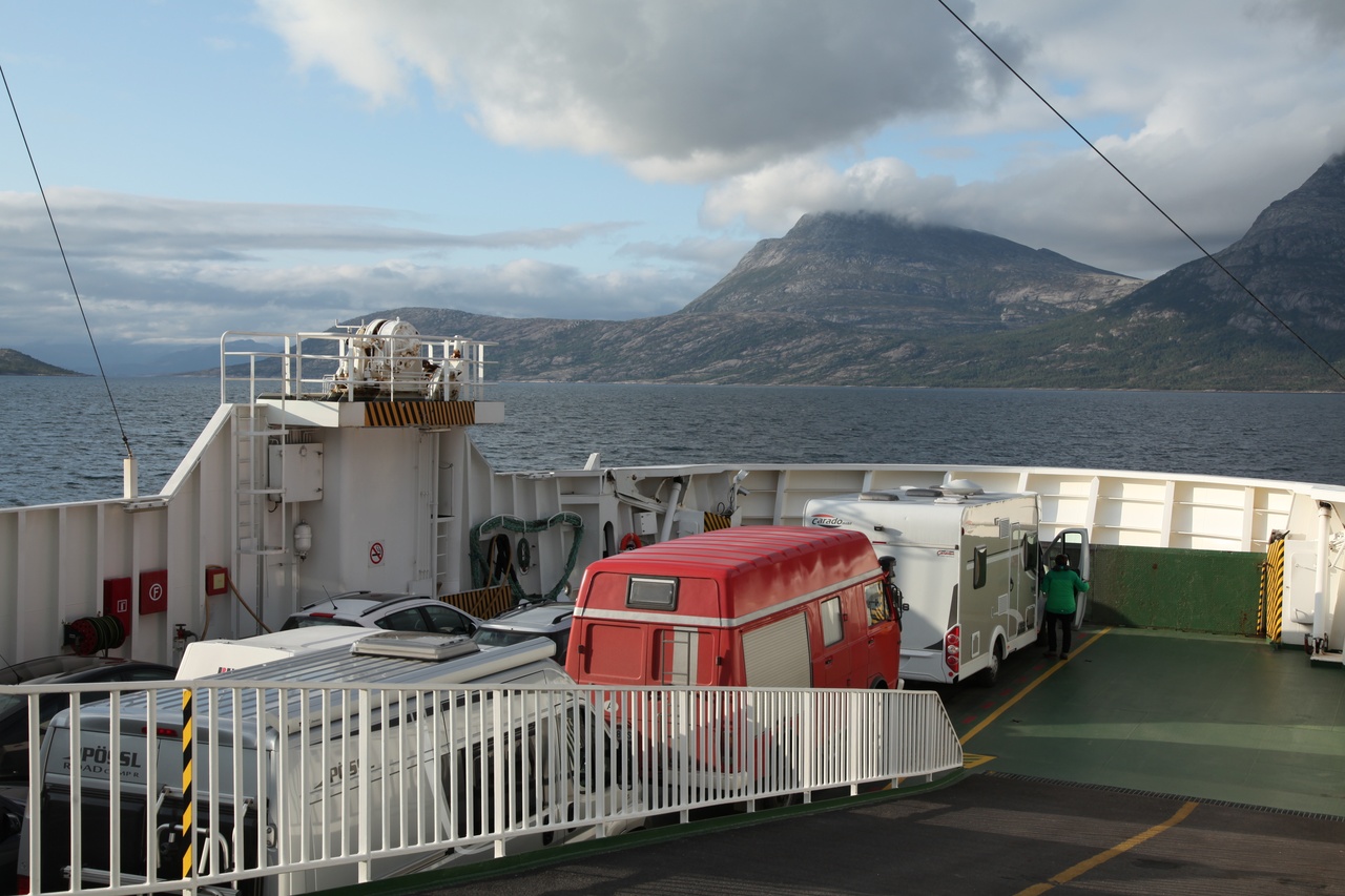
Ferry Bognes - Skaberget south of Narvik
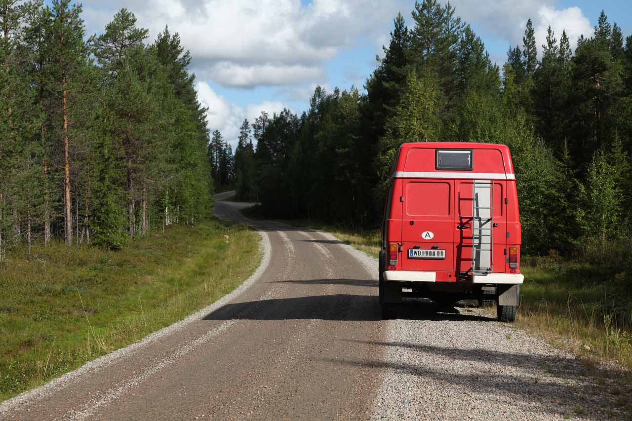
From here, the frequency of plastic campers increases ;-) Still, no single LT could be seen since the begin of the journey!
Even on the E6, beautiful pitches can be found.
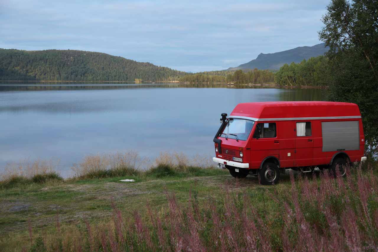
Skilvatnet
Continuing from Fjord to Fjord.
The worser the access way the nicer the pitch! At least we are not carrying all the mechanics with us for nothing ;-)
If the first stave churches appear, one definitely have left the far north.
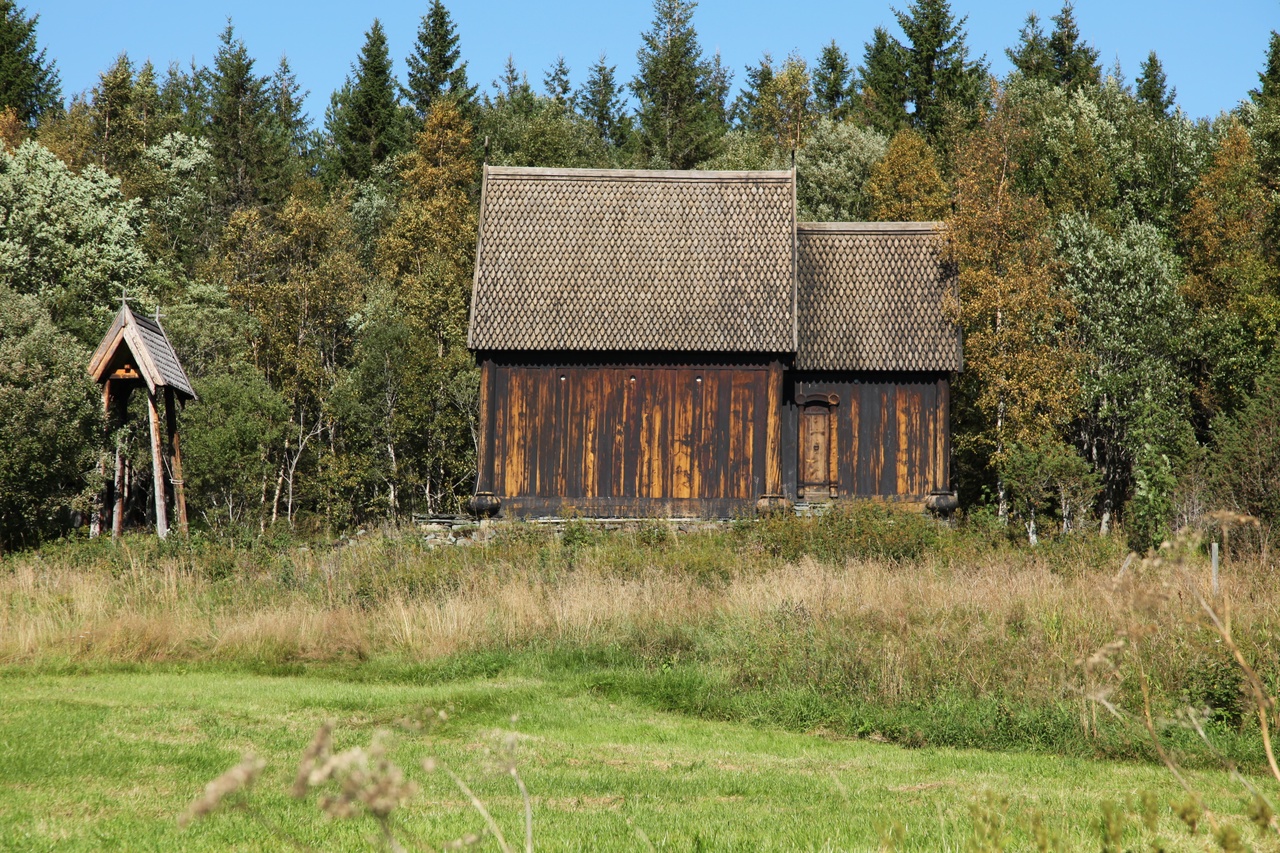
Stave church Kolbrandstad near Trondheim
Yet take along some nice corners of southern Norway.
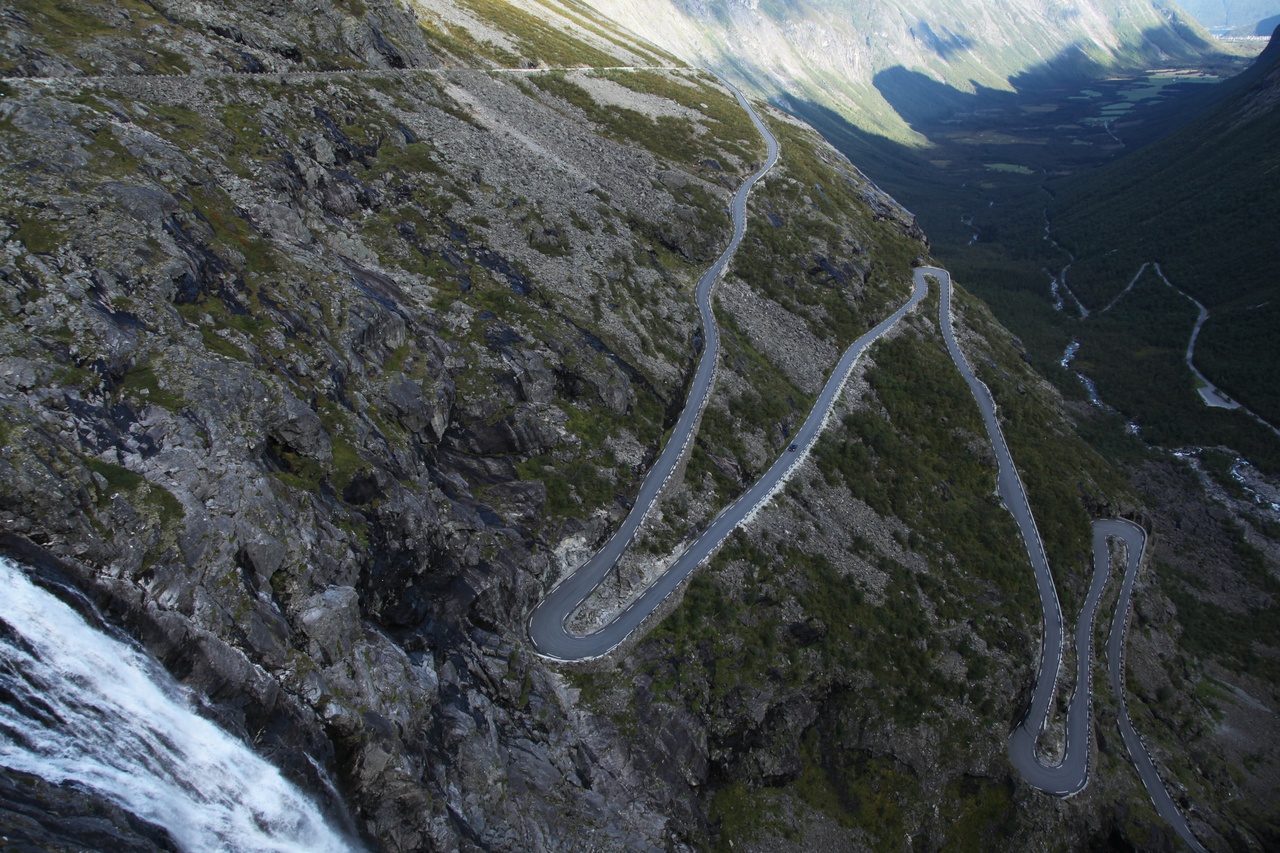
Trollstigen is a must, not least because nostalgic reasons, at last I was here more than 20 years ago with my first LT40!
Then across the Sognefjell (Jotunheimen) to the Sognefjord and Gaupne.
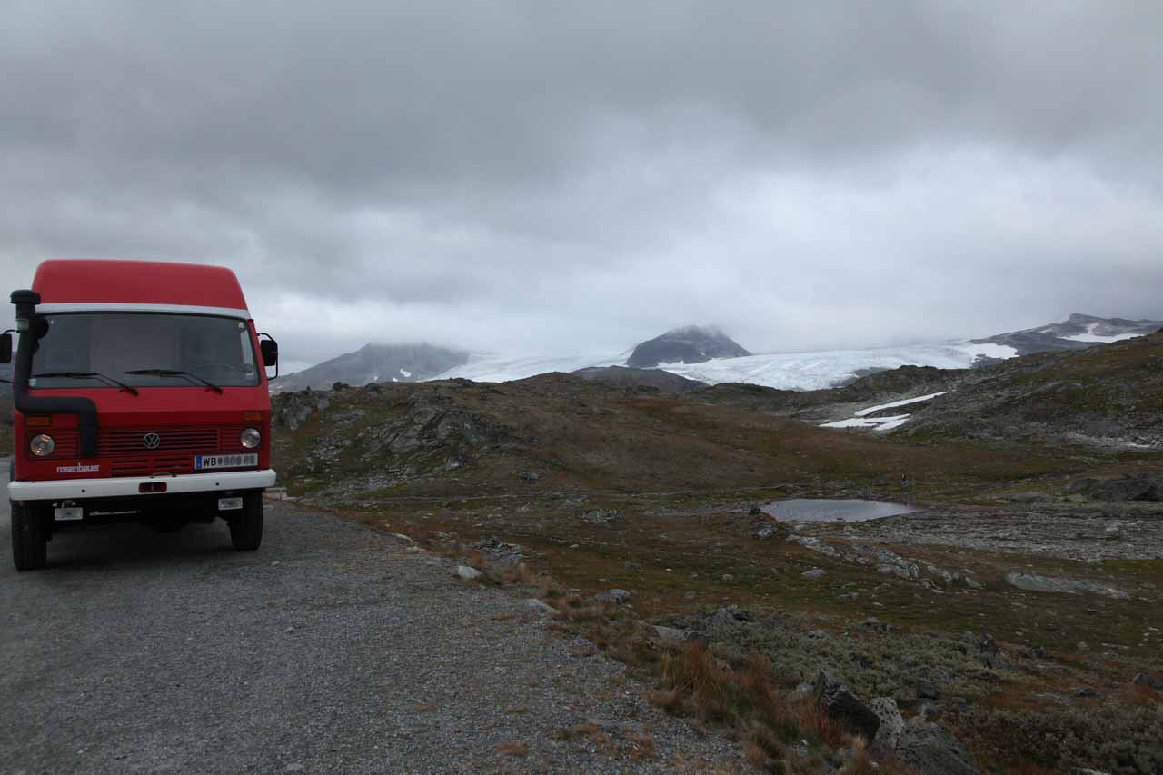
And a excursion to Nigardsbreen, a glacier tongue of Jostedalsbreen near Gaupne (Luster), easily accessible on foot.
The Jostedalsbreen is the biggest European mainland glacier.
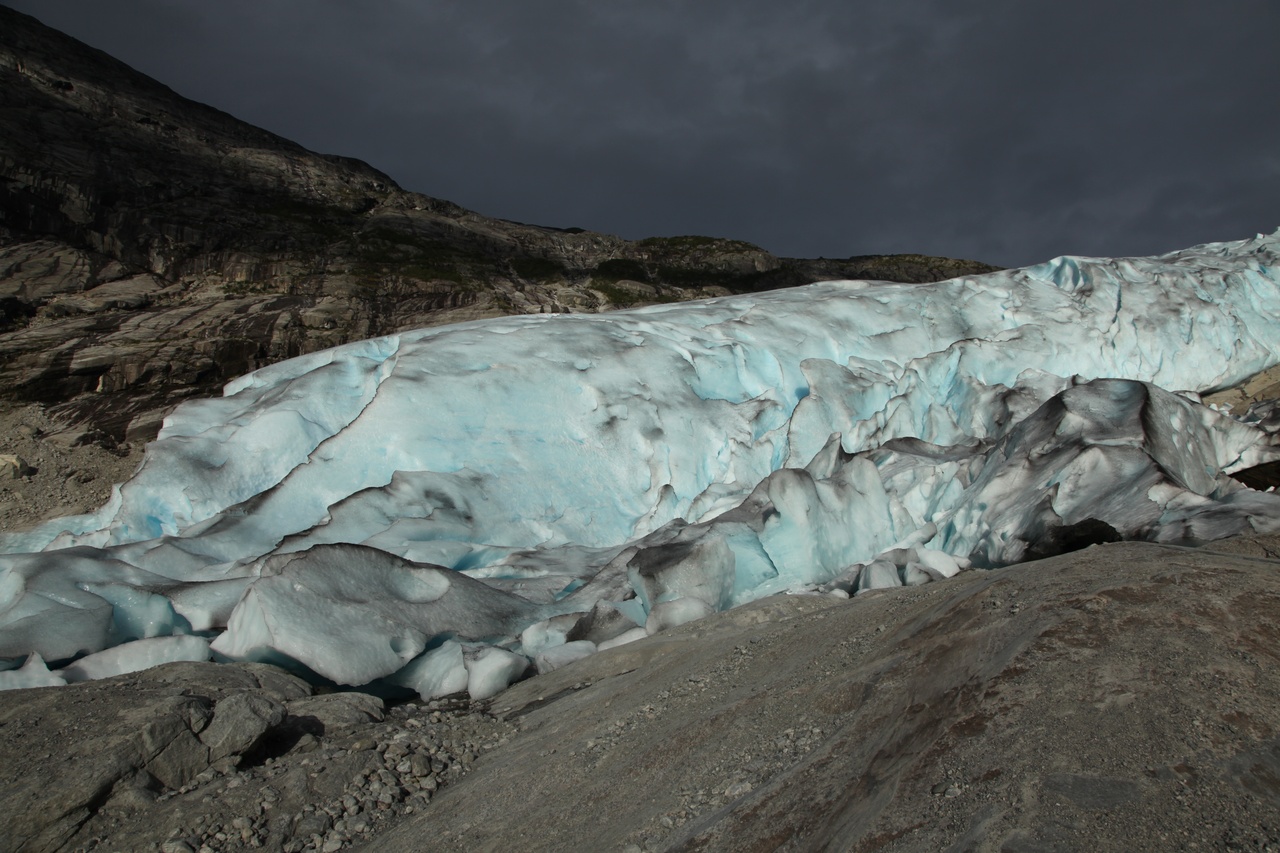
Nigardsbreen
Already 500m higher up than 20 years ago.
But that's it. Now, on the shortest way to Trelleborg and to the ferry boat for Sassnitz. Time is enough for a day in Stralsund. The town, then sea museums and the sailing vessel Gorch Fock I are worth seeing!
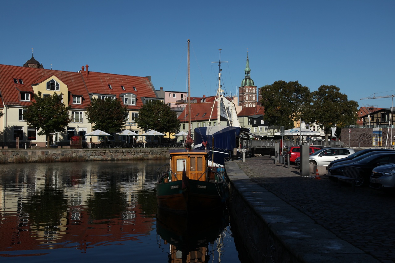
Stralsund
An then the last leg via the Deutsche Alleenstraße (german alley route)
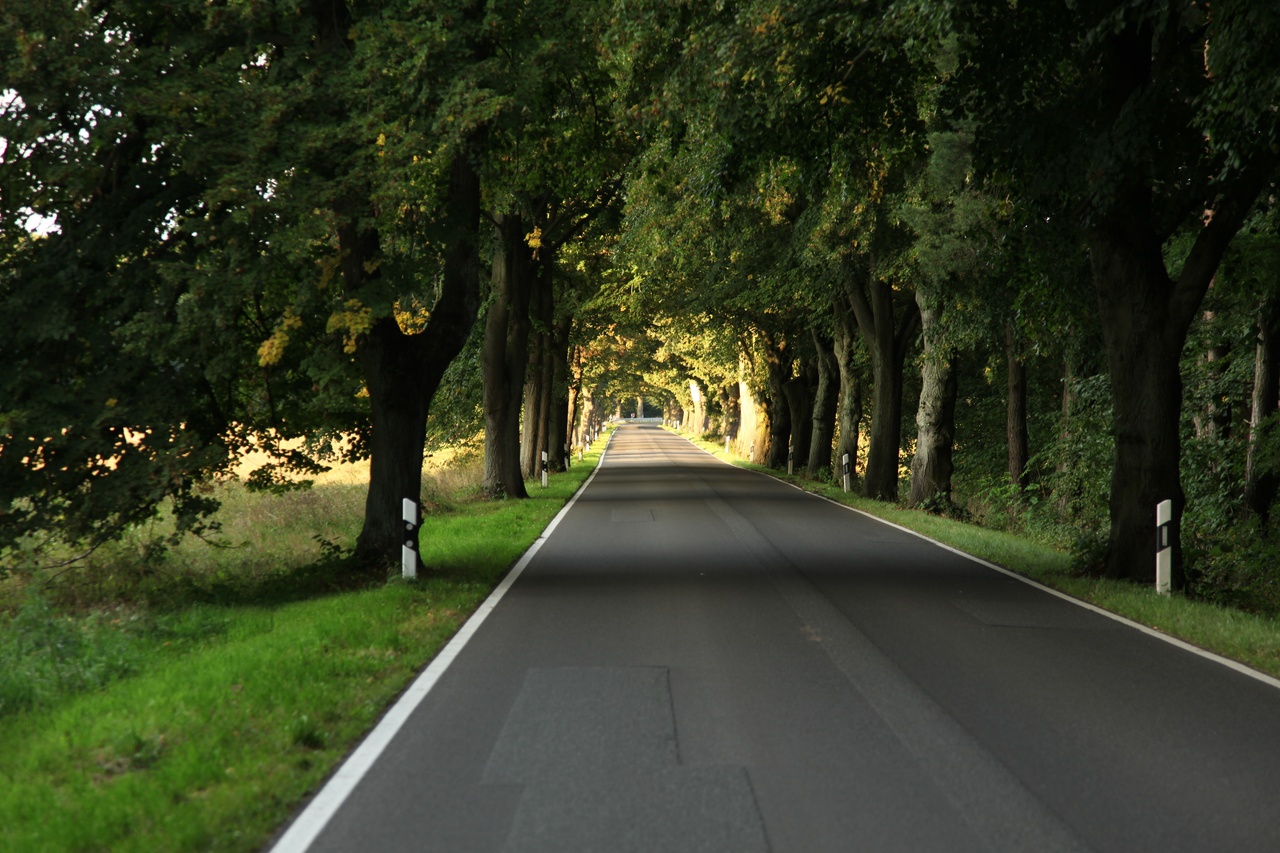
to Passau and home to Lower Austria. Arrival at 5th September after 9036km (5615 Miles)!